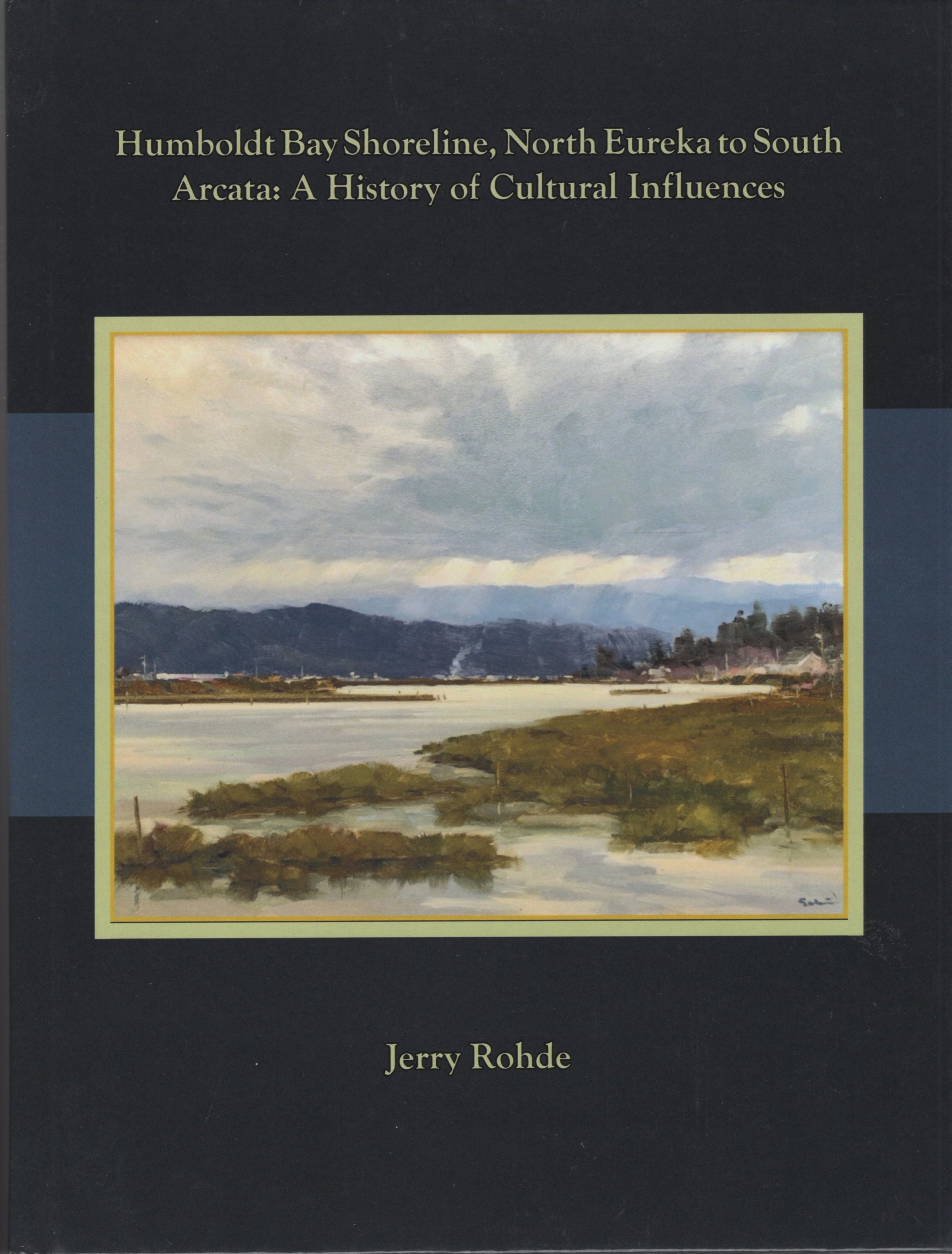
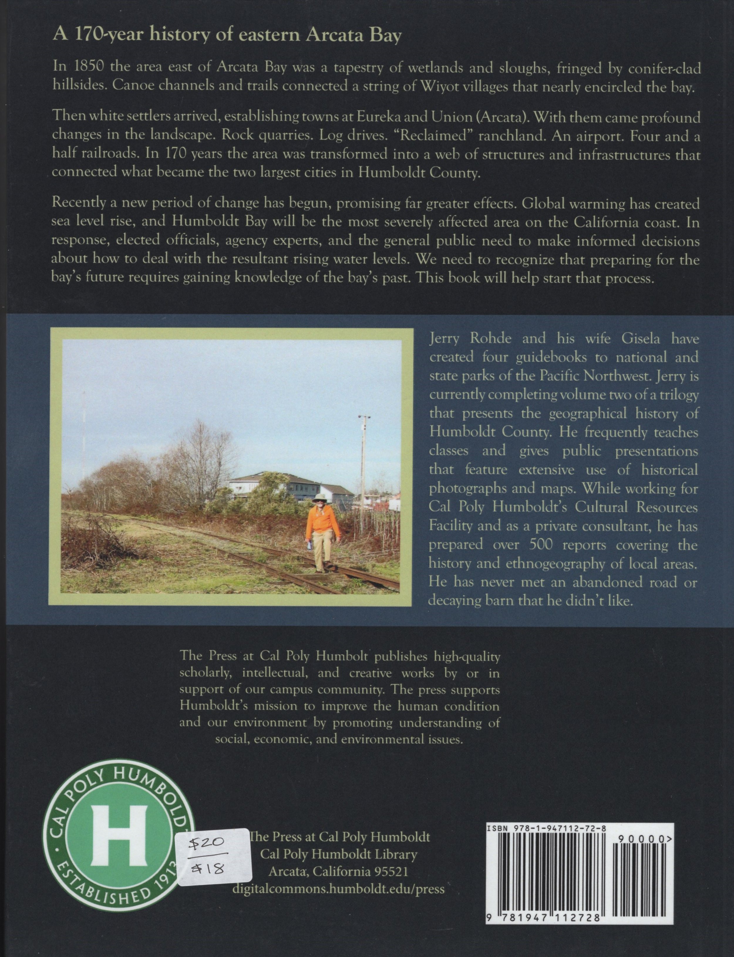
Humboldt Bay Shoreline, North Eureka to South Arcata: A History of Cultural Influences


Humboldt Bay Shoreline, North Eureka to South Arcata: A History of Cultural Influences
The shelves at the Historical Society bookstore are laden with good books on local history. But for one particular book, all you need is to mention the author's name to know this is definitely worth reading. In 2020, eminent local historian, Jerry Rohde published Humboldt Bay Shoreline, North Eureka to South Arcata: A History of Cultural Influences.
This book is essentially a report commissioned to study human influences on the landforms along the northern bay and "how the existing landscape may evolve with sea level rise." It is replete with maps and photographs, both historic and contemporary, that give us a new view of our current home in historical context.
The book begins with a section on the natural setting with its tidelands and sloughs, how the indigenous Wiyot made use of their environment, and then the initial white settlement and the conflicts that arose. Then we go on to the development of transportation corridors -- how initially the sloughs and then trains were used to move logs to the bay for transportation out. Finally Rohde goes into the diking and reclaiming of tidelands for agriculture and then for businesses along the bay.
Among the most compelling features of this book are the many photographs and maps, both historic and contemporary, some augmented with arrows and labels clearly identifying significant features. Many of these photographs are unique to this book and taken from perspectives not often seen. The inclusion of a "timeline of significant events" gives a good framework for understanding how this bay area developed.
This work has a focus not often seen in "history" books. By looking at one aspect of our past and present, it gives us a new insight into our future.


